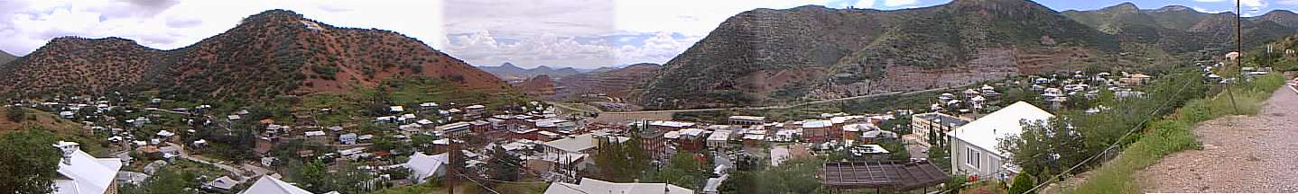
At the left of the picture is the northern end of Brewery Gulch. That's a "B" on that hill. In the distance in the gap between the hills you can sort of make out some terracing of the pit mine. From the gap, moving right, the road at the base of the hills is highway 80. Below the highway buildings cluster along Main Street, which runs roughly east-west and then curves up to the north and changes its name to Tombstone Canyon.